Personal Review
My take on this trail.
The Toronto Beltline Trail is a beautiful 9km east-west trail that runs through midtown. It’s composed of three distinct sections: the York Beltline Trail, the Kay Gardner Beltline Trail, and the Ravine Beltline Trail (also known as Moore Park Ravine). As you ride through each section, take in the views and how the scene transitions from relaxing family parks, to a forested rail-trail, and to a gravelly descent into a deep ravine. I recommend riding from west to east as it’s almost fully downhill in this direction.
York Beltline Trail
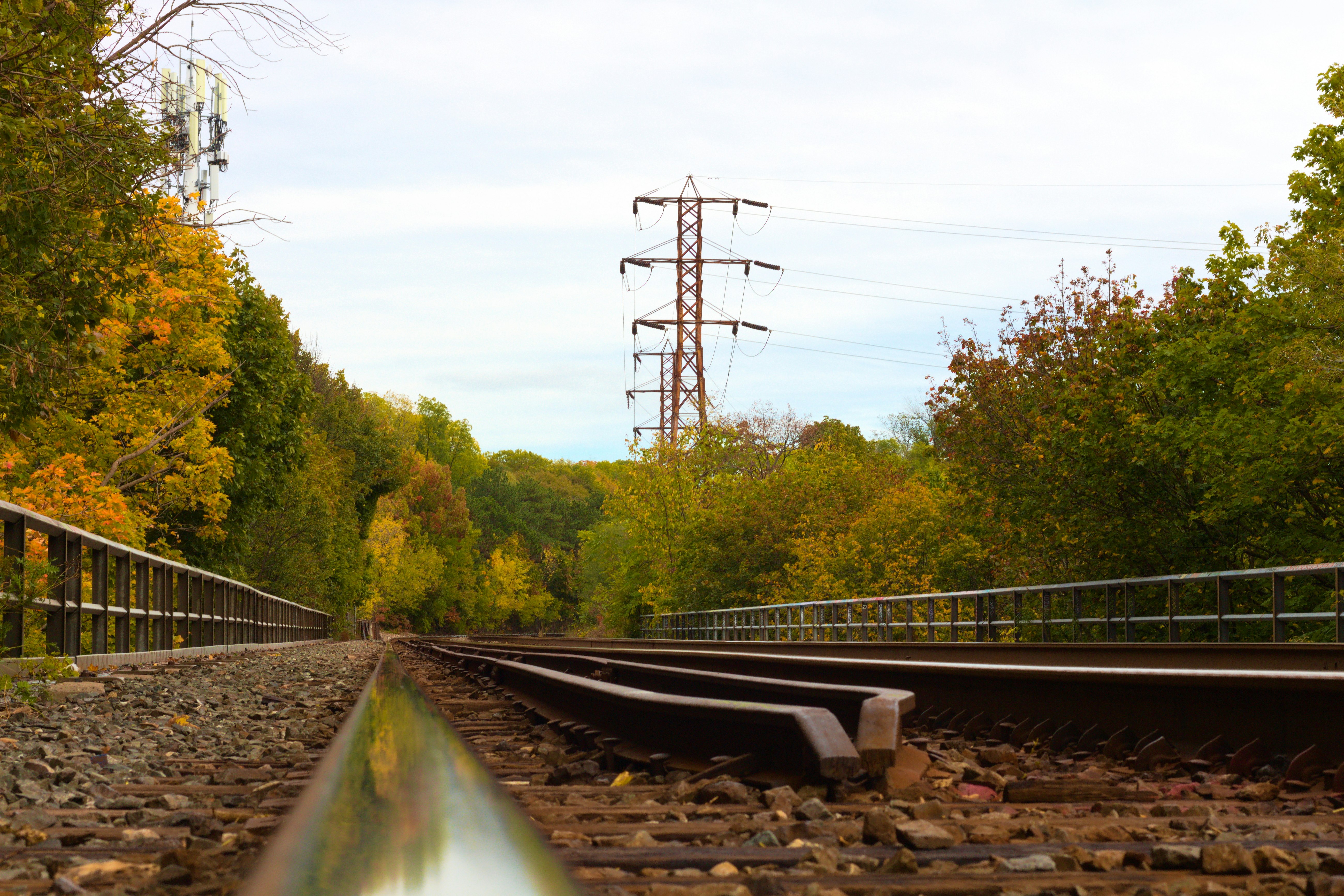
The York Beltline portion explores the Eglinton West neighbourhood of Toronto. On two wheels, it’s a great time. You’ll find yourself riding past family playgrounds filled with green space, open skies with hydro towers overhead, and modest homes that line the side streets. The community vibe is in the air in this area – there’s often families in the area, so be sure to watch your speed. The smooth, paved road underneath you makes this a great place to slow your pace and cruuuise. At the end of the York Beltline section, you’ll have to ride north on Marlee Avenue, then ride east along Roselawn Avenue Elm Ridge Drive. The entrance to the Kay Gardner section is tucked away in an alley after the bridge.
Kay Gardner Beltline Trail
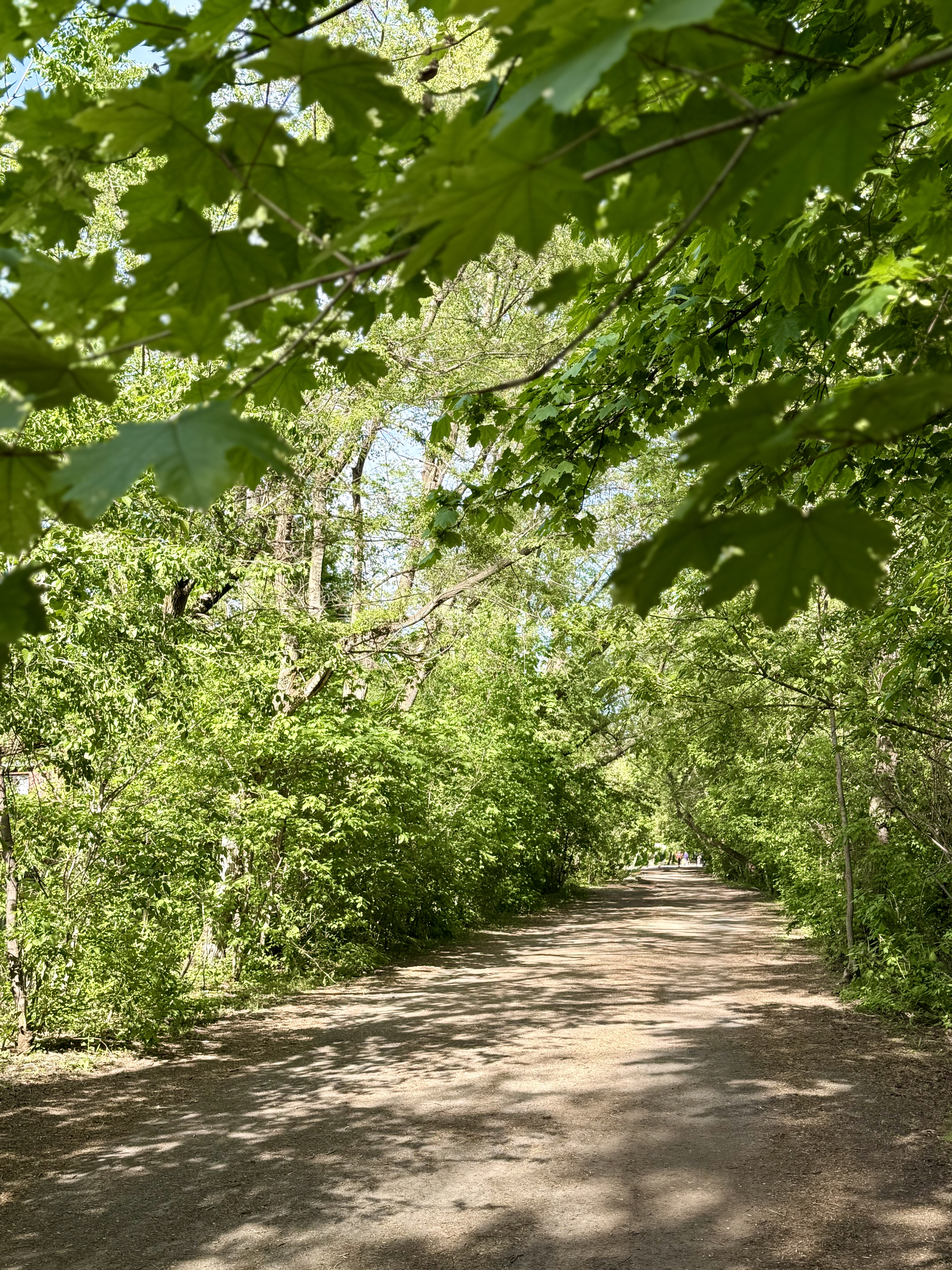
The western side of the Kay Gardner trail becomes a bit rougher, less manicured. The road is a bumpy mix of pavement, dirt, gravel, and leaf matter all mashed together to create the trail, but it’s to be expected from a former rail path. You can see the history in the trees towering above. The grand maples and oaks have grown tall over decades, and the neighbourhood has aged right along with them. As you pass Yonge Street on the Belt Line Bridge, there are 2 route options to get to Moore Park Ravine:
- Continue along the Kay Gardner trail and head south on Mt. Pleasant Road, then east along Moore Avenue to head into the ravine.
- Detour through the Mt. Pleasant Cemetery.
The cemetery features well-tended flower gardens, and a significant arboretum with rare trees. As a space for reflection and calmness, slow down and be respectful of others.
The next section in the Ravine Beltline Trail is where the thrill begins.
Ravine Beltline Trail
The entrance at Moore Park Ravine starts off with a fast descent and winding turns past wooden railings. Once you’re in, you'll see a beautiful, wide-open view of the Don Valley. From here, you can keep your momentum and just flow through the ravine to take in the views. The trees overtop and the wind in your face make this section the best ending to a bike ride. Halfway through, the smooth pavement transitions to gravel, so be mindful of your speed. Near the end, the Ravine Beltline Trail crosses paths with walking trails leading to Evergreen Brick Works – a great place to explore or take a break at the café – or you can continue and reach the end of the entire Toronto Beltline Trail!
Once you’re reached the end and you want to stay on the bike, there’s 2 main options:
- Continue to Park Drive Reservation Trail (turn right at the fork) and head up Yellow Creek – this leads to midtown, near Yonge and St Clair.
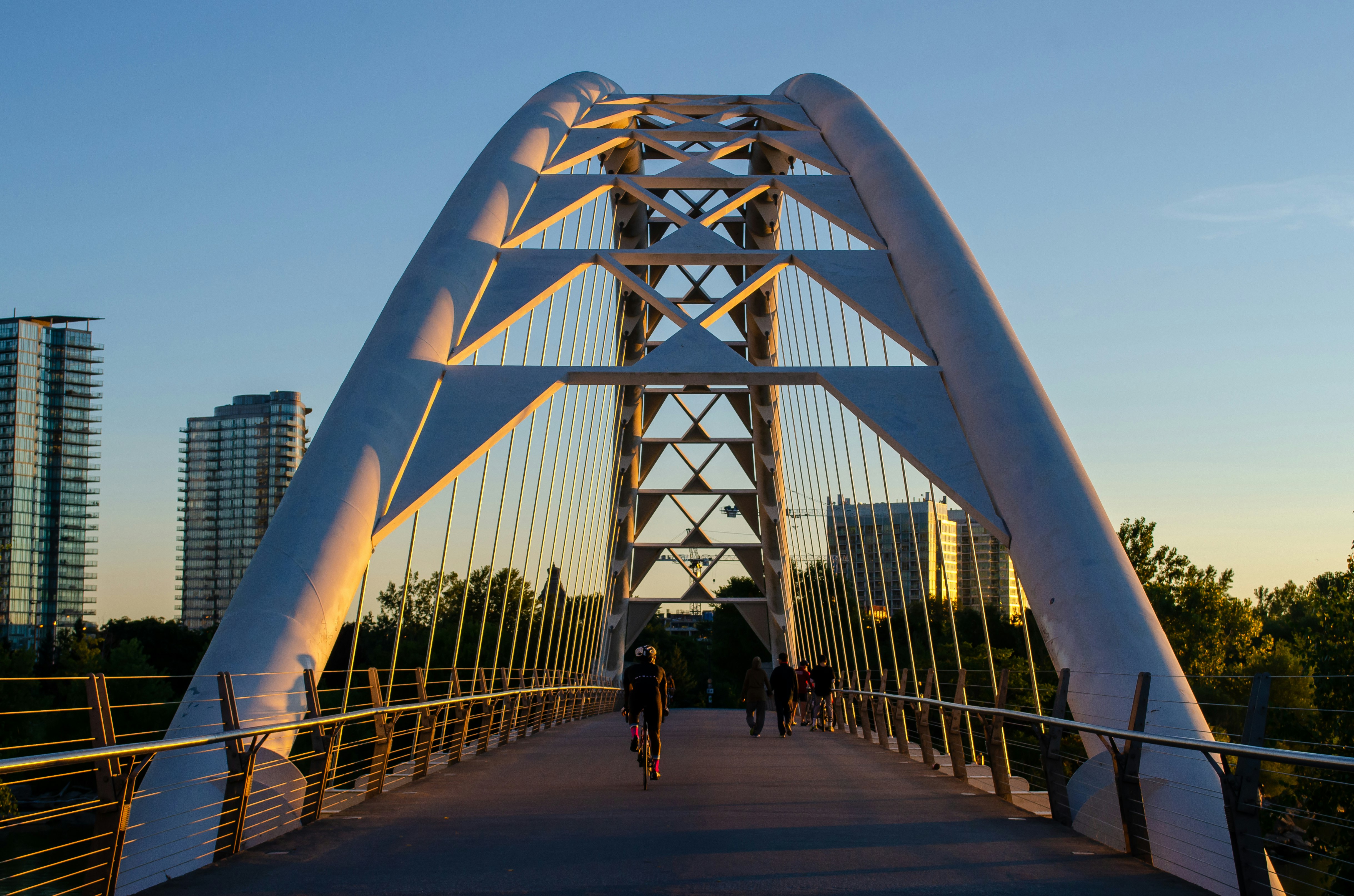
- Head back to Evergreen Brick Works and transition to the Bayview Multi-Use Trail. Biking north will lead you towards the Lower and Upper Don trails; biking south will lead you to Corktown Commons and the Martin Goodman Trail.
Worth Knowing
You're riding a railway that failed in two years.
The Toronto Belt Line Railway ran its first passenger train on July 30, 1892, built to sell suburban real estate to people who'd commute downtown by rail. The land boom collapsed, the riders never came, and the whole service folded after about 28 months, shutting down in November 1894.
Freight trains used parts of the corridor into the 1970s. The steep grade dropping from Mount Pleasant into the Don Valley was too much for steam freight, so those rails were torn up during the First World War and shipped to France. The City bought the corridor from CN in 1990, and the trail carries the name of Kay Gardner, the councillor who drove the purchase through.
A century later, the thing that bankrupted a railway, that long downhill grade into the valley, is the best part of the ride.