Personal Review
My take on this trail.
The Ride
What makes the Upper Don Trail different from every other trail on this site is its range. Each section felt like a level with its own terrain, its own character, its own visual register. You move through different worlds over 14 kilometres, and that progression is the trail's emotional arc.
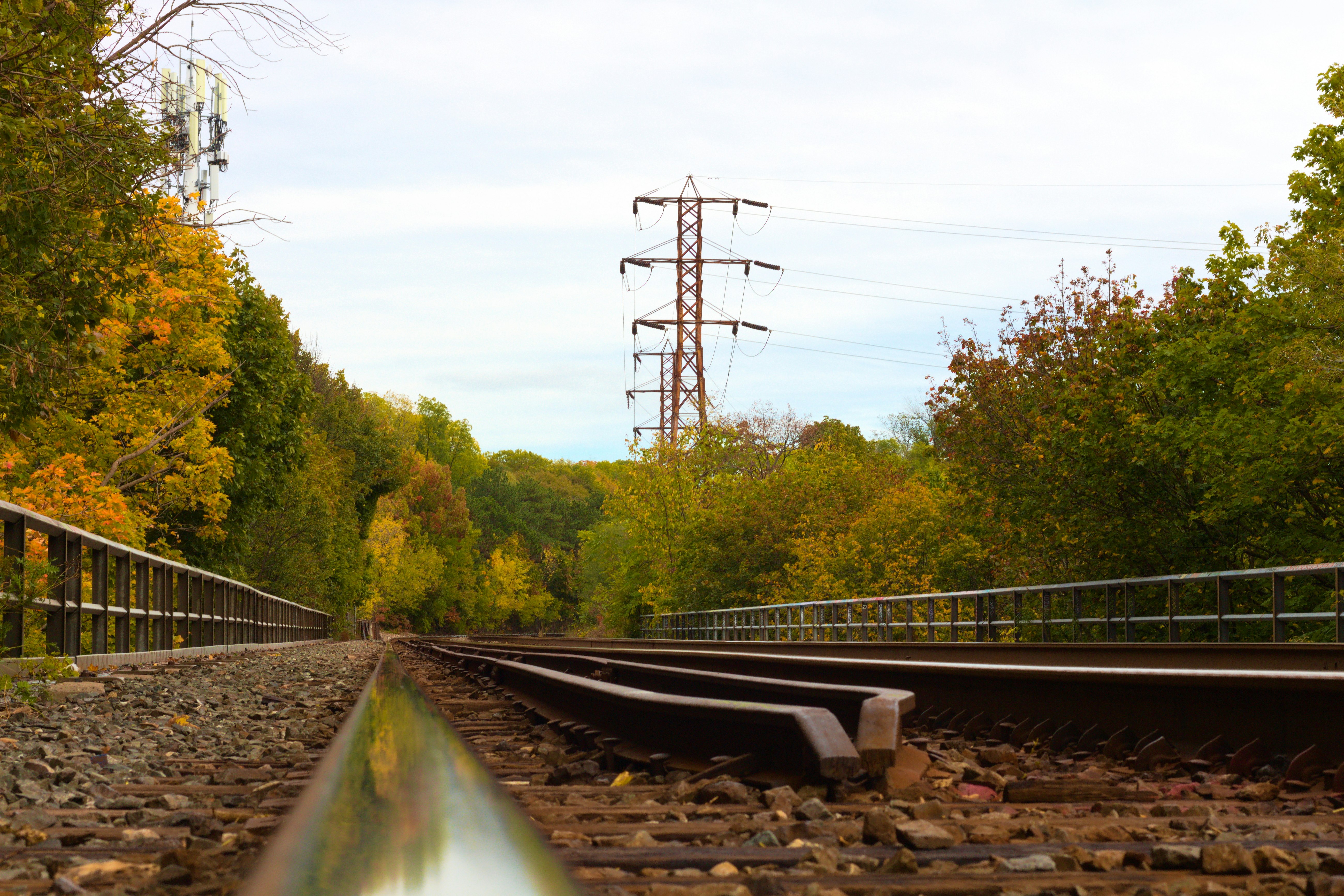
It starts at the East Don River Trail in the north. Rougher surface, enclosed by trees, the river audible and close. The trail feels raw here, less managed, more wild, and you settle into a rhythm that belongs to the ravine. The character shifts when you reach the Leaside Spur Trail. Flatter and straighter, a different kind of trail with its own rhythm. Less dramatic than the forested ravine, but it's a meditative grind that links the northern sections to the middle of the route.
Then the landscape opens up completely. Sunnybrook Park into E.T. Seton Park. Wide grass fields, tall willow trees, the sky suddenly visible after the enclosed ravine. After kilometres of forest overhead, the feeling of open sky is a physical relief. The scale changes but the river is still with you.
And threading through all of it – if you know where to look – the hidden MTB trails. Single-track paths that shoot off the main corridor into the hills, used by mountain bikers navigating terrain that's invisible from the paved path below. The first time I noticed riders appearing from the trees above the main trail, I understood that the valley contained more than the marked route suggested. The main corridor is the trail. The hills around it are a whole additional network.
As you approach the end of E.T. Seton, you have two main options: continue south on the Lower Don Trail, or head east towards the Taylor Creek Trail. The Lower Don takes you near Evergreen Brickworks and ends pleasantly at the Distillery District. Taylor Creek takes you towards the Danforth or near Warden Woods if you want to continue exploring eastward.
Two Detours Worth Taking
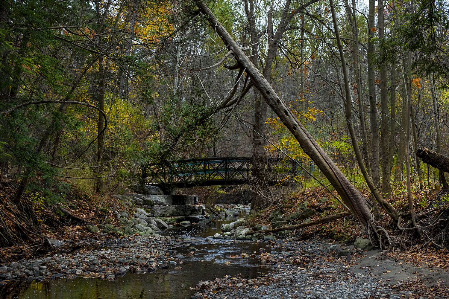
At the midpoint of the Leaside Spur Trail, instead of continuing straight down, you can turn off into Edwards Gardens and ride through the Wilket Creek Trail to reach Sunnybrook Park. This is the scenic route. It's forested, enclosed, and more beautiful than the direct Leaside path. The Leaside Spur is more straightforward and efficient. Wilket Creek is slower and more rewarding. If you have the time, take Wilket Creek. Edwards Gardens at the entry point is worth a few minutes on its own.
The second detour is wilder. In E.T. Seton Park, head toward and underneath the Don River West Branch Bridge. If you're on a hybrid or mountain bike, leave the main path and follow the single-track dirt trail dubbed, The Flats, along the Don River through tall foliage. The trail narrows. The plants close in on both sides. The river is right there and the path is barely wider than your handlebars. It's the wildest section of the entire route, completely different from the manicured paths of the main corridor. There's wilderness inside this city park, and finding it on a bike feels like a discovery every time. The practical note: only do this on a hybrid or mountain bike. Road bikes won't manage it. The ground is uneven, often soft, and the surface changes without warning.
Worth Knowing
The Don River's story is the trail's story
The Don River was Toronto's original organizing feature. The city grew up around it, industries were built along it, and for decades it was treated as a resource to be used rather than a landscape to be preserved. The river was polluted, its banks were lined with factories and rail yards, and the valley was dismissed as the back of the city.
The trail you're riding today exists because that changed. Slowly, imperfectly, the Don Valley was reclaimed. The factories came down. The trails went in. The ravine was replanted, the river cleanup began, and the valley became what it is now – a green corridor that runs through the entire city, open to anyone on foot or on wheels. The Upper Don Trail is the physical evidence of a city choosing nature over infrastructure, at least in this one long corridor. Every time you ride it, you're riding through that decision.
The reclamation isn't complete. The river isn't pristine. The trail isn't perfect. But the fact that it exists at all – 14 kilometres of continuous green corridor through one of North America's largest cities – is worth appreciating. Toronto is wilder than it looks, and the Don Valley is the proof that's been there all along.
Follow the river.